Former Erskine Church
Introduction
The photograph on this page of Former Erskine Church by Richard Dorrell as part of the Geograph project.
The Geograph project started in 2005 with the aim of publishing, organising and preserving representative images for every square kilometre of Great Britain, Ireland and the Isle of Man.

There are currently over 7.5m images from over 14,400 individuals and you can help contribute to the project by visiting https://www.geograph.org.uk
Former Erskine Church
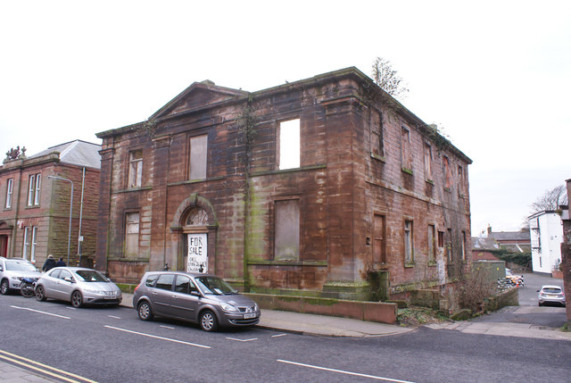
Image: © Richard Dorrell Taken: 15 Dec 2016
Photographed for Geograph by Rose and Trev Clough in 2010 (see Image]) the roofless shell, built 1834, is Category B listed. The site continues to stand vacant and gradually decay.
Images are licensed for reuse under creativecommons.org/licenses/by-sa/2.0
Image Location
Latitude
54.986624
Longitude
-3.262199