Fossdyke Navigation near Burton Waters
Introduction
The photograph on this page of Fossdyke Navigation near Burton Waters by David Smith as part of the Geograph project.
The Geograph project started in 2005 with the aim of publishing, organising and preserving representative images for every square kilometre of Great Britain, Ireland and the Isle of Man.

There are currently over 7.5m images from over 14,400 individuals and you can help contribute to the project by visiting https://www.geograph.org.uk
Fossdyke Navigation near Burton Waters
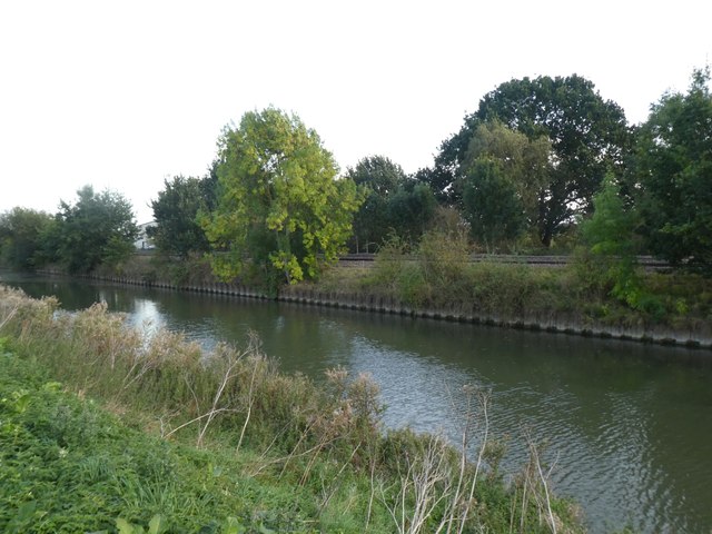
Image: © David Smith Taken: 19 Sep 2018
Just visible through the trees on the left are warehouses at Ferry Farm
Images are licensed for reuse under creativecommons.org/licenses/by-sa/2.0
Image Location


Leaflet Map data © OpenStreetMap
Latitude
53.24474
Longitude
-0.594603