Bloomfield Avenue, Belfast
Introduction
The photograph on this page of Bloomfield Avenue, Belfast by Albert Bridge as part of the Geograph project.
The Geograph project started in 2005 with the aim of publishing, organising and preserving representative images for every square kilometre of Great Britain, Ireland and the Isle of Man.

There are currently over 7.5m images from over 14,400 individuals and you can help contribute to the project by visiting https://www.geograph.org.uk
Bloomfield Avenue, Belfast
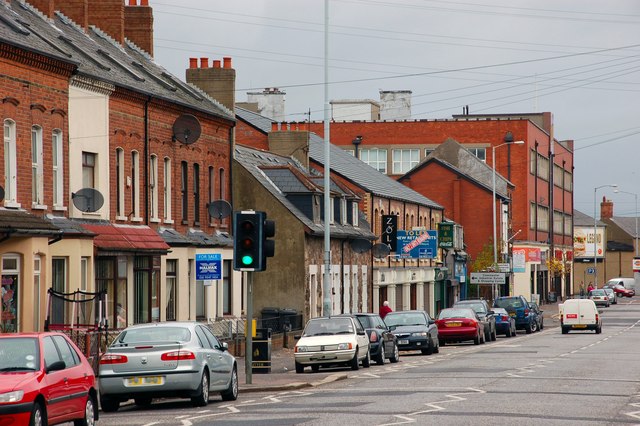
Image: © Albert Bridge Taken: 31 Oct 2007
The view along Bloomfield Avenue towards the Newtownards Road with the old Inglis biscuit factory (now the “Arches Centre”) at the far left. The construction of the Connswater Shopping Centre in 1983 led to a number of the properties becoming shops. It is now a mixed residential and commercial street.
Images are licensed for reuse under creativecommons.org/licenses/by-sa/2.0
Image Location
Latitude
54.596896
Longitude
-5.889861