Former canal bridge over the Pinxton Canal, Ironville
Introduction
The photograph on this page of Former canal bridge over the Pinxton Canal, Ironville by Alan Murray-Rust as part of the Geograph project.
The Geograph project started in 2005 with the aim of publishing, organising and preserving representative images for every square kilometre of Great Britain, Ireland and the Isle of Man.

There are currently over 7.5m images from over 14,400 individuals and you can help contribute to the project by visiting https://www.geograph.org.uk
Former canal bridge over the Pinxton Canal, Ironville
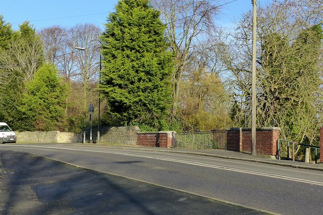
Image: © Alan Murray-Rust Taken: 30 Nov 2018
On the main road to Riddings. There is a benchmark http://www.geograph.org.uk/photo/5991776 on the stone wall to the left of the brick parapet.
Images are licensed for reuse under creativecommons.org/licenses/by-sa/2.0
Image Location
Latitude
53.063201
Longitude
-1.350393