Field by the A386
Introduction
The photograph on this page of Field by the A386 by Derek Harper as part of the Geograph project.
The Geograph project started in 2005 with the aim of publishing, organising and preserving representative images for every square kilometre of Great Britain, Ireland and the Isle of Man.

There are currently over 7.5m images from over 14,400 individuals and you can help contribute to the project by visiting https://www.geograph.org.uk
Field by the A386
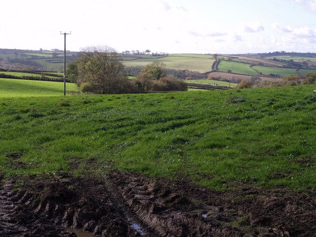
Image: © Derek Harper Taken: 30 Oct 2007
A field west of Little Torrington, looking across land falling away westwards to a tributary of Langtree Lake. The trees mark the stub of what must have been a former field boundary.
Images are licensed for reuse under creativecommons.org/licenses/by-sa/2.0
Image Location
Latitude
50.929854
Longitude
-4.154372