Field once crossed by a railway
Introduction
The photograph on this page of Field once crossed by a railway by Trevor Littlewood as part of the Geograph project.
The Geograph project started in 2005 with the aim of publishing, organising and preserving representative images for every square kilometre of Great Britain, Ireland and the Isle of Man.

There are currently over 7.5m images from over 14,400 individuals and you can help contribute to the project by visiting https://www.geograph.org.uk
Field once crossed by a railway
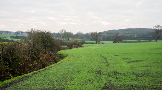
Image: © Trevor Littlewood Taken: 23 Nov 2018
The railway route, a branch of what was the Clarence Railway, once crossed the field - the image was recorded from what is assumed to be a bridge or culvert which allowed the line to cross the stream at the left of the image. It appears that there's now not a trace of its course in this view to the west. The route eastwards was clearly in place in 2009 as can be seen from Philip Barker's image - http://www.geograph.org.uk/photo/1574300. OS mapping, (November 2018), shows the rail route as if it's still in place and Google Earth's image from 2008 shows the whole stretch very clearly, as existing.
Images are licensed for reuse under creativecommons.org/licenses/by-sa/2.0
Image Location
Latitude
54.696983
Longitude
-1.556999