Mar Dyke River at Bury Farm, Upminster
Introduction
The photograph on this page of Mar Dyke River at Bury Farm, Upminster by John Winfield as part of the Geograph project.
The Geograph project started in 2005 with the aim of publishing, organising and preserving representative images for every square kilometre of Great Britain, Ireland and the Isle of Man.

There are currently over 7.5m images from over 14,400 individuals and you can help contribute to the project by visiting https://www.geograph.org.uk
Mar Dyke River at Bury Farm, Upminster
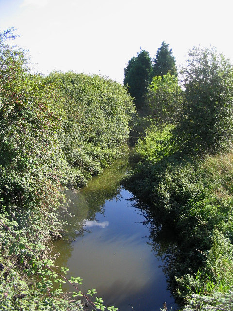
Image: © John Winfield Taken: 1 Oct 2005
What is little more than a ditch/stream here eventually become the Mar Dyke river which enters the Thames near Purfleet. Photograph taken from Bury Farm road looking east.
Images are licensed for reuse under creativecommons.org/licenses/by-sa/2.0
Image Location


Leaflet Map data © OpenStreetMap
Latitude
51.557337
Longitude
0.309514