View from above Ivy House
Introduction
The photograph on this page of View from above Ivy House by Gordon Hatton as part of the Geograph project.
The Geograph project started in 2005 with the aim of publishing, organising and preserving representative images for every square kilometre of Great Britain, Ireland and the Isle of Man.

There are currently over 7.5m images from over 14,400 individuals and you can help contribute to the project by visiting https://www.geograph.org.uk
View from above Ivy House
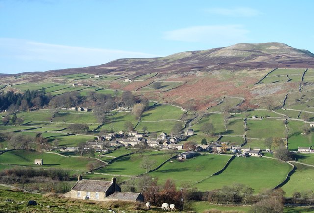
Image: © Gordon Hatton Taken: 15 Nov 2018
Ivy House sits below on the hillside, whilst on the other side of the dale is the village of Healaugh with Calver Hill beyond. With the exception of Grinton, the other major settlements along Swaledale all sit on the 'sunny' side of the dale facing south. In several villages houses on the south side of the road have their backs to the road and frontage towards the sun.
Images are licensed for reuse under creativecommons.org/licenses/by-sa/2.0
Image Location
Latitude
54.381091
Longitude
-1.967634