Woodland and paddock, Rosehill
Introduction
The photograph on this page of Woodland and paddock, Rosehill by Andrew Smith as part of the Geograph project.
The Geograph project started in 2005 with the aim of publishing, organising and preserving representative images for every square kilometre of Great Britain, Ireland and the Isle of Man.

There are currently over 7.5m images from over 14,400 individuals and you can help contribute to the project by visiting https://www.geograph.org.uk
Woodland and paddock, Rosehill
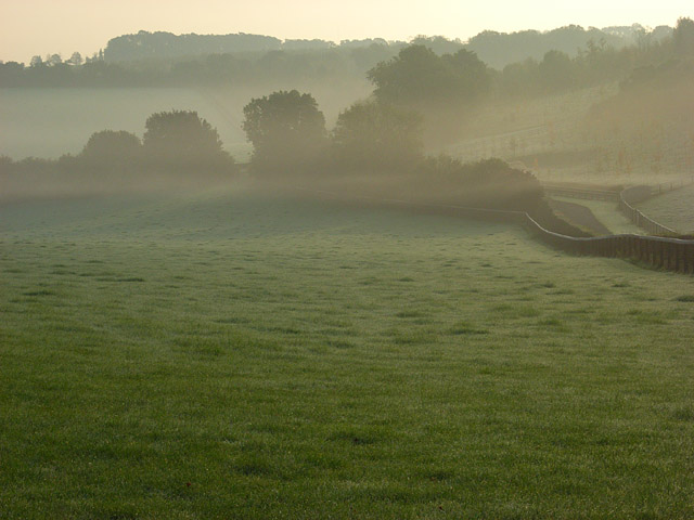
Image: © Andrew Smith Taken: 23 Oct 2007
In the area between Wargrave and Cookham a small range of chalk hills rise to the south of the Thames. A little mist had formed in the slight dry valleys.
Images are licensed for reuse under creativecommons.org/licenses/by-sa/2.0
Image Location
Latitude
51.532935
Longitude
-0.836518