St. Margaret's, Barking
Introduction
The photograph on this page of St. Margaret's, Barking by Malc McDonald as part of the Geograph project.
The Geograph project started in 2005 with the aim of publishing, organising and preserving representative images for every square kilometre of Great Britain, Ireland and the Isle of Man.

There are currently over 7.5m images from over 14,400 individuals and you can help contribute to the project by visiting https://www.geograph.org.uk
St. Margaret's, Barking
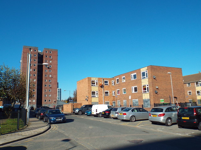
Image: © Malc McDonald Taken: 21 Oct 2018
St. Margaret's is a road in the Gascoigne housing estate in Barking. In this image, some of the flats have been boarded up, suggesting that they may be facing demolition.
Images are licensed for reuse under creativecommons.org/licenses/by-sa/2.0
Image Location
Latitude
51.53443
Longitude
0.082402