Whittington Way, Pinner
Introduction
The photograph on this page of Whittington Way, Pinner by Carl Grove as part of the Geograph project.
The Geograph project started in 2005 with the aim of publishing, organising and preserving representative images for every square kilometre of Great Britain, Ireland and the Isle of Man.

There are currently over 7.5m images from over 14,400 individuals and you can help contribute to the project by visiting https://www.geograph.org.uk
Whittington Way, Pinner
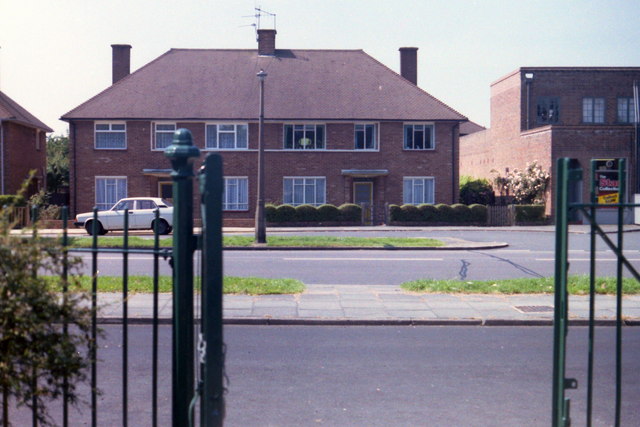
Image: © Carl Grove Taken: 3 Jul 1987
Picture taken from the south entrance of Pinner Village Gardens.
Images are licensed for reuse under creativecommons.org/licenses/by-sa/2.0
Image Location
Latitude
51.585075
Longitude
-0.380371