Coldstones from the south
Introduction
The photograph on this page of Coldstones from the south by Malcolm Street as part of the Geograph project.
The Geograph project started in 2005 with the aim of publishing, organising and preserving representative images for every square kilometre of Great Britain, Ireland and the Isle of Man.

There are currently over 7.5m images from over 14,400 individuals and you can help contribute to the project by visiting https://www.geograph.org.uk
Coldstones from the south
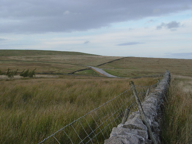
Image: © Malcolm Street Taken: 29 Sep 2005
The maps say White Mere, don't know why. The hill on the upper left is the bund which shields the industry of Coldstones Quarry from the casual passerby, and villager. The road seen here leads to the quarry and was built 20 years ago to allow the passage of quarry wagons without them having to pass through Greenhow Village.
Images are licensed for reuse under creativecommons.org/licenses/by-sa/2.0
Image Location


Leaflet Map data © OpenStreetMap
Latitude
54.064866
Longitude
-1.812186