Westcott Cottage
Introduction
The photograph on this page of Westcott Cottage by Michael Dibb as part of the Geograph project.
The Geograph project started in 2005 with the aim of publishing, organising and preserving representative images for every square kilometre of Great Britain, Ireland and the Isle of Man.

There are currently over 7.5m images from over 14,400 individuals and you can help contribute to the project by visiting https://www.geograph.org.uk
Westcott Cottage
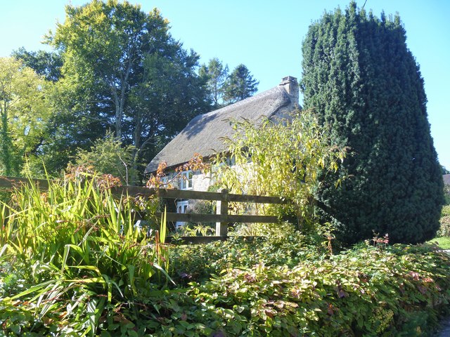
Image: © Michael Dibb Taken: 26 Sep 2018
This small house is early 16th century with 17th century improvements and a 20th century extension. Historic England states 'The late medieval roof is the most sophisticated example of carpentry from that time in the parish'. Listed, grade II*, with details at: https://historicengland.org.uk/listing/the-list/list-entry/1308806
Images are licensed for reuse under creativecommons.org/licenses/by-sa/2.0
Image Location
Latitude
50.673997
Longitude
-3.82701