Woad Lane Crossing, Pyewipe
Introduction
The photograph on this page of Woad Lane Crossing, Pyewipe by Brian Westlake as part of the Geograph project.
The Geograph project started in 2005 with the aim of publishing, organising and preserving representative images for every square kilometre of Great Britain, Ireland and the Isle of Man.

There are currently over 7.5m images from over 14,400 individuals and you can help contribute to the project by visiting https://www.geograph.org.uk
Woad Lane Crossing, Pyewipe
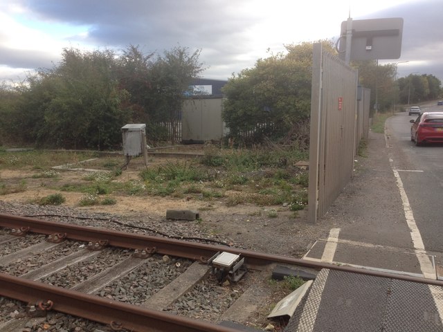
Image: © Brian Westlake Taken: 3 Oct 2018
This view looks towards an infilled culvert on the south-east side of the crossing. The culvert or its parapet was the location of an Ordnance Survey flush bracket G4706. See https://www.bench-marks.org.uk/bm13526 for further information.
Images are licensed for reuse under creativecommons.org/licenses/by-sa/2.0
Image Location


Leaflet Map data © OpenStreetMap
Latitude
53.58214
Longitude
-0.119072