View from Edgwarebury Lane
Introduction
The photograph on this page of View from Edgwarebury Lane by Marathon as part of the Geograph project.
The Geograph project started in 2005 with the aim of publishing, organising and preserving representative images for every square kilometre of Great Britain, Ireland and the Isle of Man.

There are currently over 7.5m images from over 14,400 individuals and you can help contribute to the project by visiting https://www.geograph.org.uk
View from Edgwarebury Lane
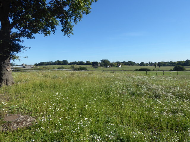
Image: © Marathon Taken: 26 Sep 2018
Edgwarebury Lane is a classic example of how the Green Belt works. It leads from Barnet Lane southwards towards either the Broadfields Estate at Edgware or the A41 at Edgware Way. It seems like real unspoilt countryside. This view is near where the path leads away to Edgware Way. The house in the centre of the photograph in the distance is on Edgwarebury Lane, while Bury Farm is on the extreme left.
Images are licensed for reuse under creativecommons.org/licenses/by-sa/2.0
Image Location
Latitude
51.633616
Longitude
-0.284285