Lane and gate near Middle Lypiatt
Introduction
The photograph on this page of Lane and gate near Middle Lypiatt by Derek Harper as part of the Geograph project.
The Geograph project started in 2005 with the aim of publishing, organising and preserving representative images for every square kilometre of Great Britain, Ireland and the Isle of Man.

There are currently over 7.5m images from over 14,400 individuals and you can help contribute to the project by visiting https://www.geograph.org.uk
Lane and gate near Middle Lypiatt
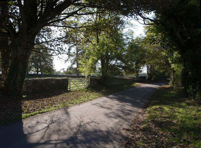
Image: © Derek Harper Taken: 19 Oct 2007
The lane between Round Elm and Brimscombe arrives at the end of the driveway to Image
Images are licensed for reuse under creativecommons.org/licenses/by-sa/2.0
Image Location
Latitude
51.741404
Longitude
-2.180988