King's Highway descending towards Huncoat
Introduction
The photograph on this page of King's Highway descending towards Huncoat by Chris Heaton as part of the Geograph project.
The Geograph project started in 2005 with the aim of publishing, organising and preserving representative images for every square kilometre of Great Britain, Ireland and the Isle of Man.

There are currently over 7.5m images from over 14,400 individuals and you can help contribute to the project by visiting https://www.geograph.org.uk
King's Highway descending towards Huncoat
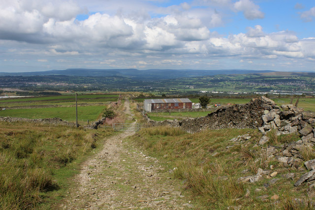
Image: © Chris Heaton Taken: 5 Sep 2018
Splendid views northwards on offer as far the Bowland Fells.
Images are licensed for reuse under creativecommons.org/licenses/by-sa/2.0
Image Location
Latitude
53.759506
Longitude
-2.33214