Rocky Lane
Introduction
The photograph on this page of Rocky Lane by Stefan Czapski as part of the Geograph project.
The Geograph project started in 2005 with the aim of publishing, organising and preserving representative images for every square kilometre of Great Britain, Ireland and the Isle of Man.

There are currently over 7.5m images from over 14,400 individuals and you can help contribute to the project by visiting https://www.geograph.org.uk
Rocky Lane
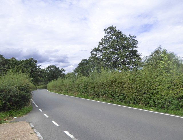
Image: © Stefan Czapski Taken: 24 Aug 2018
A minor road running between hedges on (or at the edge of) the Gatton Park estate. Further north and west the lane climbs the ridge to Gatton - but if it was once rocky, it is no longer.
Images are licensed for reuse under creativecommons.org/licenses/by-sa/2.0
Image Location
Latitude
51.259641
Longitude
-0.161228