The pavement changes sides on the A267
Introduction
The photograph on this page of The pavement changes sides on the A267 by Christine Johnstone as part of the Geograph project.
The Geograph project started in 2005 with the aim of publishing, organising and preserving representative images for every square kilometre of Great Britain, Ireland and the Isle of Man.

There are currently over 7.5m images from over 14,400 individuals and you can help contribute to the project by visiting https://www.geograph.org.uk
The pavement changes sides on the A267
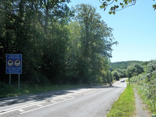
Image: © Christine Johnstone Taken: 2 Aug 2018
Presumably to avoid the busy Bunny Lane junction [which is also the site of a 119 metre spot height].
Images are licensed for reuse under creativecommons.org/licenses/by-sa/2.0
Image Location


Leaflet Map data © OpenStreetMap
Latitude
51.106718
Longitude
0.26169