Todshawhaugh Ford
Introduction
The photograph on this page of Todshawhaugh Ford by John Walton as part of the Geograph project.
The Geograph project started in 2005 with the aim of publishing, organising and preserving representative images for every square kilometre of Great Britain, Ireland and the Isle of Man.

There are currently over 7.5m images from over 14,400 individuals and you can help contribute to the project by visiting https://www.geograph.org.uk
Todshawhaugh Ford
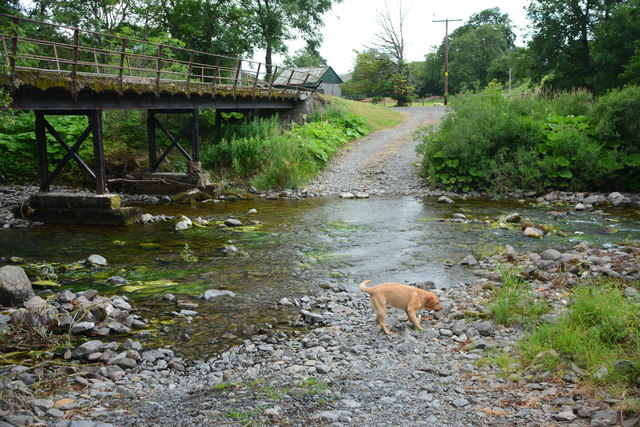
Image: © John Walton Taken: 17 Jul 2018
This ford on Borthwick Water is found at Highchesters Farm. The second ford further down is now cut off and a new road serves the fields beyond. An image from 2005 can be seen at: http://www.geograph.org.uk/photo/58436 and a video of the ford at: https://youtu.be/6-w_q8xACC4
Images are licensed for reuse under creativecommons.org/licenses/by-sa/2.0
Image Location
Latitude
55.416046
Longitude
-2.859528