Unnamed burn by the A78 at Fairlie
Introduction
The photograph on this page of Unnamed burn by the A78 at Fairlie by Thomas Nugent as part of the Geograph project.
The Geograph project started in 2005 with the aim of publishing, organising and preserving representative images for every square kilometre of Great Britain, Ireland and the Isle of Man.

There are currently over 7.5m images from over 14,400 individuals and you can help contribute to the project by visiting https://www.geograph.org.uk
Unnamed burn by the A78 at Fairlie
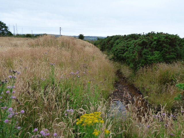
Image: © Thomas Nugent Taken: 13 Jul 2018
Shown on maps as a drain, it originates on the hill above Kelburn Castle.
Images are licensed for reuse under creativecommons.org/licenses/by-sa/2.0
Image Location
Latitude
55.766737
Longitude
-4.854827