Millside, Wombourne
Introduction
The photograph on this page of Millside, Wombourne by Bill Boaden as part of the Geograph project.
The Geograph project started in 2005 with the aim of publishing, organising and preserving representative images for every square kilometre of Great Britain, Ireland and the Isle of Man.

There are currently over 7.5m images from over 14,400 individuals and you can help contribute to the project by visiting https://www.geograph.org.uk
Millside, Wombourne
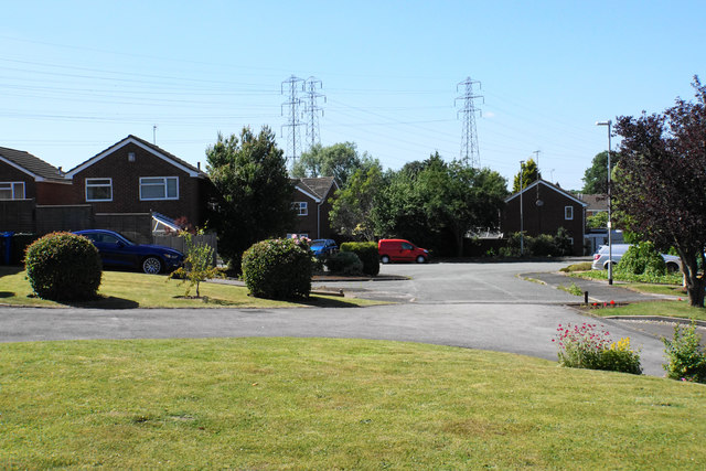
Image: © Bill Boaden Taken: 22 Jun 2018
Fairly new housing development in Wombourne. Millside is a short cul-de-sac off Millfields Way, here viewed from the passing Staffordshire & Worcestershire Canal.
Images are licensed for reuse under creativecommons.org/licenses/by-sa/2.0
Image Location
Latitude
52.530192
Longitude
-2.204118