Wylde Green Primary School, Little Green Lanes, northeast Birmingham
Introduction
The photograph on this page of Wylde Green Primary School, Little Green Lanes, northeast Birmingham by Robin Stott as part of the Geograph project.
The Geograph project started in 2005 with the aim of publishing, organising and preserving representative images for every square kilometre of Great Britain, Ireland and the Isle of Man.

There are currently over 7.5m images from over 14,400 individuals and you can help contribute to the project by visiting https://www.geograph.org.uk
Wylde Green Primary School, Little Green Lanes, northeast Birmingham
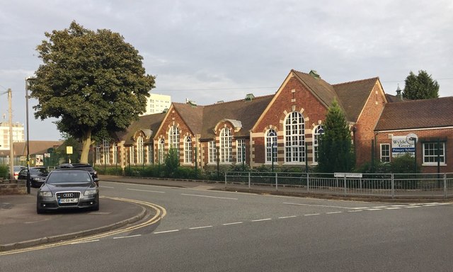
Image: © Robin Stott Taken: 23 Jun 2018
Old maps show a smaller school building here by 1889 when the area was still a mosaic of piecemeal residential development and small fields. Houses on the south side of Little Green Lanes would have looked out over farmland. By 1914 there were two schools with a few houses opposite. By 1937 the whole area to the north was solidly residential. By 1963 the two schools had been connected to form one County Primary School.
Images are licensed for reuse under creativecommons.org/licenses/by-sa/2.0
Image Location
Latitude
52.537799
Longitude
-1.830554