Church of St Helen, Stapleford
Introduction
The photograph on this page of Church of St Helen, Stapleford by Alan Murray-Rust as part of the Geograph project.
The Geograph project started in 2005 with the aim of publishing, organising and preserving representative images for every square kilometre of Great Britain, Ireland and the Isle of Man.

There are currently over 7.5m images from over 14,400 individuals and you can help contribute to the project by visiting https://www.geograph.org.uk
Church of St Helen, Stapleford
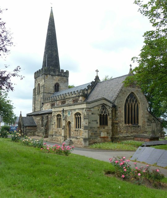
Image: © Alan Murray-Rust Taken: 12 Jun 2018
The core of the church (nave, chancel, south aisle and lower tower) is 13th century. The upper tower and spire are 14th century and the clerestory early 16th century. The south east chapel was added in 1923. Listed Grade II*.
Images are licensed for reuse under creativecommons.org/licenses/by-sa/2.0
Image Location
Latitude
52.931338
Longitude
-1.274561