The new Newtown bypass
Introduction
The photograph on this page of The new Newtown bypass by Philip Halling as part of the Geograph project.
The Geograph project started in 2005 with the aim of publishing, organising and preserving representative images for every square kilometre of Great Britain, Ireland and the Isle of Man.

There are currently over 7.5m images from over 14,400 individuals and you can help contribute to the project by visiting https://www.geograph.org.uk
The new Newtown bypass
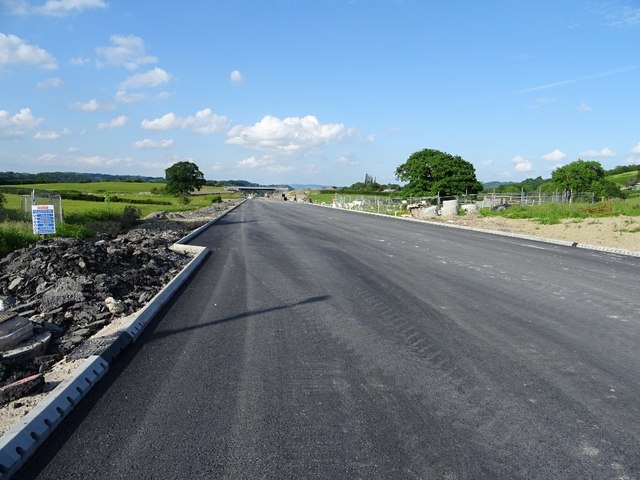
Image: © Philip Halling Taken: 3 Jun 2018
I haven't driven through Newtown for sometime, in the meantime work is nearing completion on Newtown's bypass, here it is pictured where the new road crosses the A489.
Images are licensed for reuse under creativecommons.org/licenses/by-sa/2.0
Image Location
Latitude
52.512788
Longitude
-3.292691