Grillagh Bridge Flax Mill
Introduction
The photograph on this page of Grillagh Bridge Flax Mill by Mike Simms as part of the Geograph project.
The Geograph project started in 2005 with the aim of publishing, organising and preserving representative images for every square kilometre of Great Britain, Ireland and the Isle of Man.

There are currently over 7.5m images from over 14,400 individuals and you can help contribute to the project by visiting https://www.geograph.org.uk
Grillagh Bridge Flax Mill
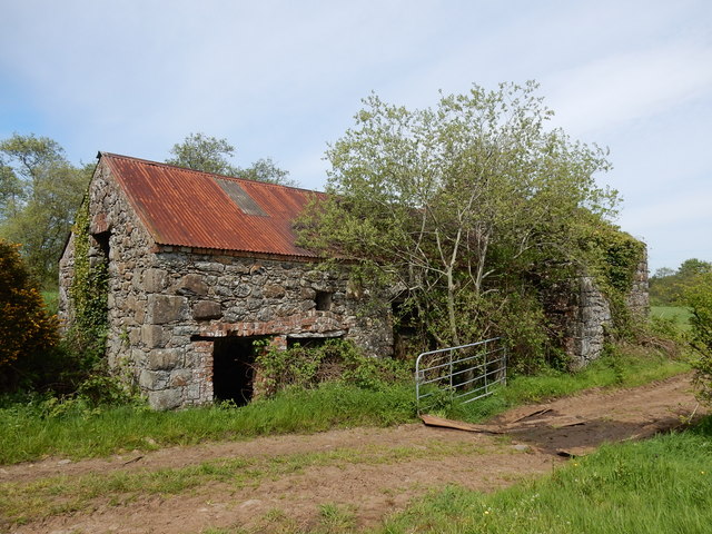
Image: © Mike Simms Taken: 19 May 2018
The old flax mill near Grillagh Bridge, north of Maghera, was built sometime between 1860 and 1900. The mill retains its internal waterwheel and most of its machinery. The waterwheel is about one third underwater and part of the mill is flooded. The mill pond was immediately behind the mill but has dried up.
Images are licensed for reuse under creativecommons.org/licenses/by-sa/2.0
Image Location
Latitude
54.867877
Longitude
-6.661126