Upton Bridge parapet in Greasby Road, Wirral
Introduction
The photograph on this page of Upton Bridge parapet in Greasby Road, Wirral by John S Turner as part of the Geograph project.
The Geograph project started in 2005 with the aim of publishing, organising and preserving representative images for every square kilometre of Great Britain, Ireland and the Isle of Man.

There are currently over 7.5m images from over 14,400 individuals and you can help contribute to the project by visiting https://www.geograph.org.uk
Upton Bridge parapet in Greasby Road, Wirral
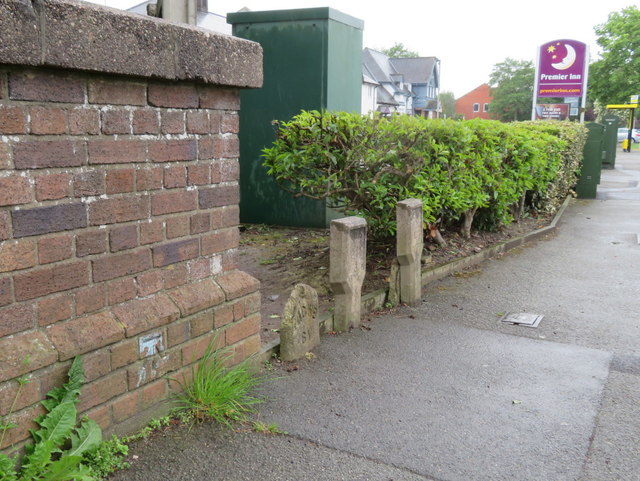
Image: © John S Turner Taken: 25 May 2018
The parapet of Upton Bridge, which carries Greasby Road over Arrowe Brook next to the Premier Inn. There is an Ordnance Survey bench mark on the parapet - Image, and some water company markers beyond, including an old and weathered 'WCWB SV' post - 'Wirral Corporation(?) Water Board Stop Valve' - Image
Images are licensed for reuse under creativecommons.org/licenses/by-sa/2.0
Image Location
Latitude
53.382974
Longitude
-3.108269