Information boards and play area, Laggan
Introduction
The photograph on this page of Information boards and play area, Laggan by Jim Barton as part of the Geograph project.
The Geograph project started in 2005 with the aim of publishing, organising and preserving representative images for every square kilometre of Great Britain, Ireland and the Isle of Man.

There are currently over 7.5m images from over 14,400 individuals and you can help contribute to the project by visiting https://www.geograph.org.uk
Information boards and play area, Laggan
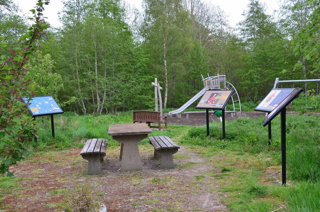
Image: © Jim Barton Taken: 19 May 2018
A children's play area and a series of boards illustrating local history, including cattle droving, General Wade's roads and the Black Watch.
Images are licensed for reuse under creativecommons.org/licenses/by-sa/2.0
Image Location
Latitude
57.019476
Longitude
-4.284891