Cranbrook: Gratton Park
Introduction
The photograph on this page of Cranbrook: Gratton Park by Martin Bodman as part of the Geograph project.
The Geograph project started in 2005 with the aim of publishing, organising and preserving representative images for every square kilometre of Great Britain, Ireland and the Isle of Man.

There are currently over 7.5m images from over 14,400 individuals and you can help contribute to the project by visiting https://www.geograph.org.uk
Cranbrook: Gratton Park
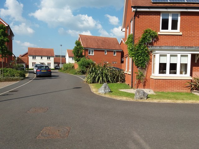
Image: © Martin Bodman Taken: 23 May 2018
Off Mayfield Way. Part of the new town development begun circa 2013
Images are licensed for reuse under creativecommons.org/licenses/by-sa/2.0
Image Location
Latitude
50.746864
Longitude
-3.41126