Lord's Wood: dry leat course
Introduction
The photograph on this page of Lord's Wood: dry leat course by Martin Bodman as part of the Geograph project.
The Geograph project started in 2005 with the aim of publishing, organising and preserving representative images for every square kilometre of Great Britain, Ireland and the Isle of Man.

There are currently over 7.5m images from over 14,400 individuals and you can help contribute to the project by visiting https://www.geograph.org.uk
Lord's Wood: dry leat course
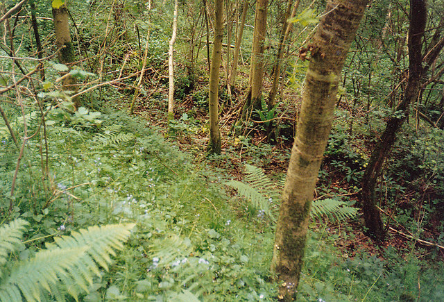
Image: © Martin Bodman Taken: Unknown
This leat provided water for a vanished eighteenth-century wire mill and it is interesting to see the associated pond has been restored in recent years - Image Enlarge the Geograph map and you will see that on leaving the wood the leat once ran out on embankment to work an overshot waterwheel. The tannery was on the other side of the Candlestick Brook and had a shorter leat, further down the slope. See also Image] and Image]
Images are licensed for reuse under creativecommons.org/licenses/by-sa/2.0
Image Location
Latitude
51.369828
Longitude
-2.525865