The M6 at Gailey
Introduction
The photograph on this page of The M6 at Gailey by Bill Boaden as part of the Geograph project.
The Geograph project started in 2005 with the aim of publishing, organising and preserving representative images for every square kilometre of Great Britain, Ireland and the Isle of Man.

There are currently over 7.5m images from over 14,400 individuals and you can help contribute to the project by visiting https://www.geograph.org.uk
The M6 at Gailey
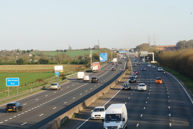
Image: © Bill Boaden Taken: 19 Apr 2018
Between Junctions 11 and 11A. The M6 Toll starts just up ahead.
Images are licensed for reuse under creativecommons.org/licenses/by-sa/2.0
Image Location
Latitude
52.68073
Longitude
-2.094475