Glanrafon road junction
Introduction
The photograph on this page of Glanrafon road junction by Jonathan Wilkins as part of the Geograph project.
The Geograph project started in 2005 with the aim of publishing, organising and preserving representative images for every square kilometre of Great Britain, Ireland and the Isle of Man.

There are currently over 7.5m images from over 14,400 individuals and you can help contribute to the project by visiting https://www.geograph.org.uk
Glanrafon road junction
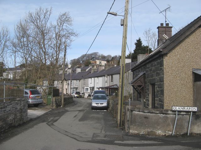
Image: © Jonathan Wilkins Taken: 9 Mar 2018
Clustered, slate rooves on may levels typify the steep streets of Bontuchaf.
Images are licensed for reuse under creativecommons.org/licenses/by-sa/2.0
Image Location
Latitude
53.180219
Longitude
-4.053274