Former "Gretna Tavern" - February 2018 (3)
Introduction
The photograph on this page of Former "Gretna Tavern" - February 2018 (3) by The Carlisle Kid as part of the Geograph project.
The Geograph project started in 2005 with the aim of publishing, organising and preserving representative images for every square kilometre of Great Britain, Ireland and the Isle of Man.

There are currently over 7.5m images from over 14,400 individuals and you can help contribute to the project by visiting https://www.geograph.org.uk
Former "Gretna Tavern" - February 2018 (3)
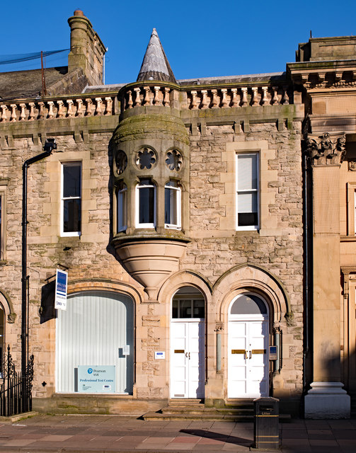
Image: © The Carlisle Kid Taken: 25 Feb 2018
OS Maps indicate this was once part of the "Gretna Tavern", and would have been included in the lot sold by the State Management Scheme in 1973. Now commercial premises and appears currently To Let. For information on the "Gretna Tavern", see: Image] .
Images are licensed for reuse under creativecommons.org/licenses/by-sa/2.0
Image Location
Latitude
54.893167
Longitude
-2.933094