Commonside, Walkley, Sheffield
Introduction
The photograph on this page of Commonside, Walkley, Sheffield by David Hallam-Jones as part of the Geograph project.
The Geograph project started in 2005 with the aim of publishing, organising and preserving representative images for every square kilometre of Great Britain, Ireland and the Isle of Man.

There are currently over 7.5m images from over 14,400 individuals and you can help contribute to the project by visiting https://www.geograph.org.uk
Commonside, Walkley, Sheffield
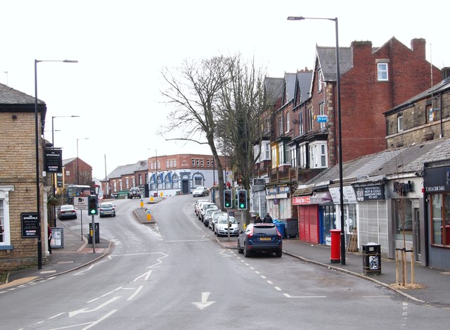
Image: © David Hallam-Jones Taken: 19 Feb 2018
Commonside may have gained its title from the habit of herders ‘resting’ their animals on common land in this area whilst in the process of moving them from Stannington and Walkley to the former cattle market near Sheffield's former Victoria Station. (See: https://www.sheffieldhistory.co.uk/forums/topic/16673-baaa/). Although city bound buses join Barber Road ahead - on the horizon - Commonside bears to the right at the same point, passing the side of a jeweller's shop that has blue shutters (a former bank) and it continues uphill towards Crookes and Broomhill.
Images are licensed for reuse under creativecommons.org/licenses/by-sa/2.0
Image Location
Latitude
53.387515
Longitude
-1.497778