Converted Warehouses along Shad Thames
Introduction
The photograph on this page of Converted Warehouses along Shad Thames by Des Blenkinsopp as part of the Geograph project.
The Geograph project started in 2005 with the aim of publishing, organising and preserving representative images for every square kilometre of Great Britain, Ireland and the Isle of Man.

There are currently over 7.5m images from over 14,400 individuals and you can help contribute to the project by visiting https://www.geograph.org.uk
Converted Warehouses along Shad Thames
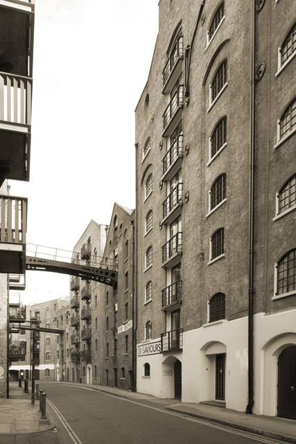
Image: © Des Blenkinsopp Taken: 21 Feb 2018
In Victorian times, Shad Thames included the largest warehouse complex in London. Completed in 1873, the warehouses housed huge quantities of tea, coffee, spices and other commodities, which were unloaded and loaded onto river boats. Lots more info on https://en.wikipedia.org/wiki/Shad_Thames although theories on where the name Shad Thames came from are a bit vague.
Images are licensed for reuse under creativecommons.org/licenses/by-sa/2.0
Image Location
Latitude
51.501293
Longitude
-0.072848