Ranmore Road, Dorking
Introduction
The photograph on this page of Ranmore Road, Dorking by Stephen McKay as part of the Geograph project.
The Geograph project started in 2005 with the aim of publishing, organising and preserving representative images for every square kilometre of Great Britain, Ireland and the Isle of Man.

There are currently over 7.5m images from over 14,400 individuals and you can help contribute to the project by visiting https://www.geograph.org.uk
Ranmore Road, Dorking
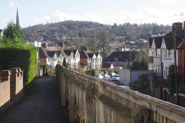
Image: © Stephen McKay Taken: 15 Feb 2018
The houses on the east side of Ranmore Road are elevated well above the level of the roadway and are served by this raised pavement protected by a wooden fence. This is the view towards the town centre with the spire of St Martin's Church - one of the tallest in England - standing out prominently.
Images are licensed for reuse under creativecommons.org/licenses/by-sa/2.0
Image Location
Latitude
51.235745
Longitude
-0.337231