A1(M) northbound
Introduction
The photograph on this page of A1(M) northbound by Robin Webster as part of the Geograph project.
The Geograph project started in 2005 with the aim of publishing, organising and preserving representative images for every square kilometre of Great Britain, Ireland and the Isle of Man.

There are currently over 7.5m images from over 14,400 individuals and you can help contribute to the project by visiting https://www.geograph.org.uk
A1(M) northbound
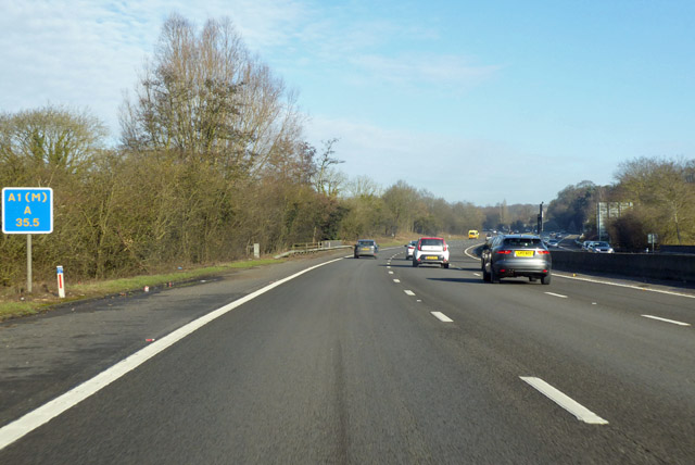
Image: © Robin Webster Taken: 17 Feb 2018
At the 35.5 km marker, with a bridge over the River Lea ahead. The datum for the distance marker is the start of the A1, not the start of this section of the discontinuous A1(M).
Images are licensed for reuse under creativecommons.org/licenses/by-sa/2.0
Image Location
Latitude
51.790842
Longitude
-0.226705