Demolition Site - #12 Manor Road was here
Introduction
The photograph on this page of Demolition Site - #12 Manor Road was here by Roger Templeman as part of the Geograph project.
The Geograph project started in 2005 with the aim of publishing, organising and preserving representative images for every square kilometre of Great Britain, Ireland and the Isle of Man.

There are currently over 7.5m images from over 14,400 individuals and you can help contribute to the project by visiting https://www.geograph.org.uk
Demolition Site - #12 Manor Road was here
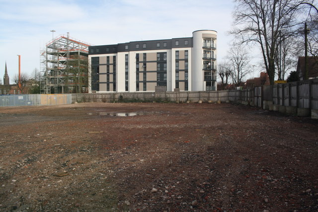
Image: © Roger Templeman Taken: 12 Feb 2018
New apartment block on far side of Manor Road, behind the far wooden fence
Images are licensed for reuse under creativecommons.org/licenses/by-sa/2.0
Image Location
Latitude
52.402063
Longitude
-1.511682