Farms near St Mabyn
Introduction
The photograph on this page of Farms near St Mabyn by Derek Harper as part of the Geograph project.
The Geograph project started in 2005 with the aim of publishing, organising and preserving representative images for every square kilometre of Great Britain, Ireland and the Isle of Man.

There are currently over 7.5m images from over 14,400 individuals and you can help contribute to the project by visiting https://www.geograph.org.uk
Farms near St Mabyn
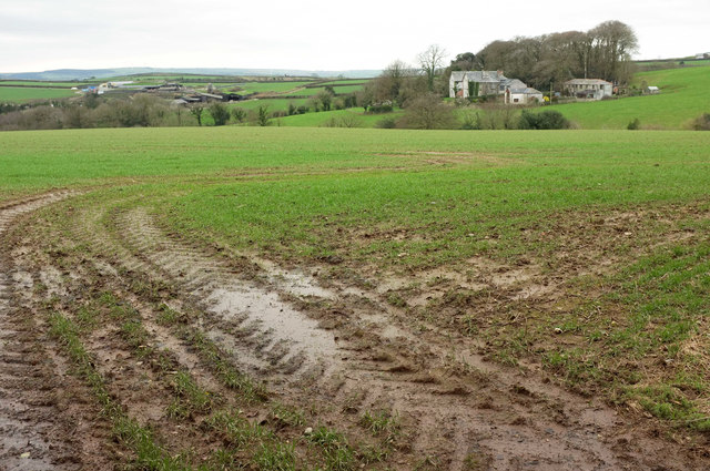
Image: © Derek Harper Taken: 4 Feb 2018
Another view, from the gate shown in Image], of the farms shown in Image Right of centre is Woodlands https://www.historicengland.org.uk/listing/the-list/list-entry/1327969 .
Images are licensed for reuse under creativecommons.org/licenses/by-sa/2.0
Image Location
Latitude
50.521315
Longitude
-4.760719