A pair of Land Settlement Association houses
Introduction
The photograph on this page of A pair of Land Settlement Association houses by Jonathan Thacker as part of the Geograph project.
The Geograph project started in 2005 with the aim of publishing, organising and preserving representative images for every square kilometre of Great Britain, Ireland and the Isle of Man.

There are currently over 7.5m images from over 14,400 individuals and you can help contribute to the project by visiting https://www.geograph.org.uk
A pair of Land Settlement Association houses
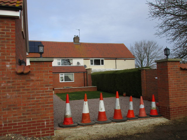
Image: © Jonathan Thacker Taken: 8 Feb 2018
59 smallholdings for redundant Durham miners were established at Harrowby by the Land Settlement Association in 1935. All were sold off in 1971 and most of the houses have been altered and the land incorporated into neighbouring farms. This pair of houses have been altered and extended to the point of being almost unrecognisable.
Images are licensed for reuse under creativecommons.org/licenses/by-sa/2.0
Image Location
Latitude
52.907879
Longitude
-0.601068