South side of The Mix by a track and lime trees, off Ipswich Street, Stowmarket
Introduction
The photograph on this page of South side of The Mix by a track and lime trees, off Ipswich Street, Stowmarket by Robin Stott as part of the Geograph project.
The Geograph project started in 2005 with the aim of publishing, organising and preserving representative images for every square kilometre of Great Britain, Ireland and the Isle of Man.

There are currently over 7.5m images from over 14,400 individuals and you can help contribute to the project by visiting https://www.geograph.org.uk
South side of The Mix by a track and lime trees, off Ipswich Street, Stowmarket
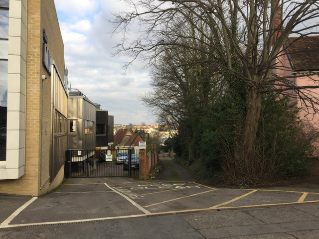
Image: © Robin Stott Taken: 5 Feb 2018
The street frontage of The Mix is seen in Image A map of 1927 shows malthouses and orchards down here. The lime trees must give their name to The Limes, the house on the right Image
Images are licensed for reuse under creativecommons.org/licenses/by-sa/2.0
Image Location
Latitude
52.185035
Longitude
0.999983