Road junction at Ebchester
Introduction
The photograph on this page of Road junction at Ebchester by Robert Graham as part of the Geograph project.
The Geograph project started in 2005 with the aim of publishing, organising and preserving representative images for every square kilometre of Great Britain, Ireland and the Isle of Man.

There are currently over 7.5m images from over 14,400 individuals and you can help contribute to the project by visiting https://www.geograph.org.uk
Road junction at Ebchester
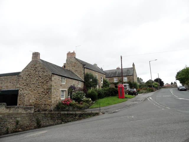
Image: © Robert Graham Taken: 26 Jul 2017
This is the junction of the B6309 from Whittonstall with the main village street, the A694. The lovely old stone buildings are Chare Top and Wheldon House, dating from the late C17 and mid C18 respectively.
Images are licensed for reuse under creativecommons.org/licenses/by-sa/2.0
Image Location
Latitude
54.893504
Longitude
-1.841409