Rendezvous Street
Introduction
The photograph on this page of Rendezvous Street by John Baker as part of the Geograph project.
The Geograph project started in 2005 with the aim of publishing, organising and preserving representative images for every square kilometre of Great Britain, Ireland and the Isle of Man.

There are currently over 7.5m images from over 14,400 individuals and you can help contribute to the project by visiting https://www.geograph.org.uk
Rendezvous Street
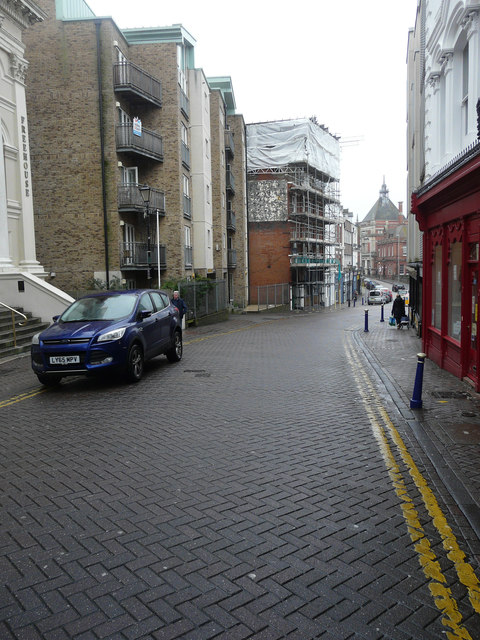
Image: © John Baker Taken: 23 Jan 2018
The building, in the distance, with its frontage and roof encased in scaffolding, is number 29, which used to be a public house called Berties http://www.dover-kent.com/Berties-Folkestone.html In this image of Image it is the nearest building, on the left, to the camera. Planning permission was approved, with conditions, by Folkestone and Hythe District Council under application number Y16/0455/SH for “extension and alteration to roof to facilitate 2 self contained flats in the roof space, together with other external alterations”.
Images are licensed for reuse under creativecommons.org/licenses/by-sa/2.0
Image Location
Latitude
51.080806
Longitude
1.181136