Llwybr y Bryn / Bryn Footpath
Introduction
The photograph on this page of Llwybr y Bryn / Bryn Footpath by Alan Richards as part of the Geograph project.
The Geograph project started in 2005 with the aim of publishing, organising and preserving representative images for every square kilometre of Great Britain, Ireland and the Isle of Man.

There are currently over 7.5m images from over 14,400 individuals and you can help contribute to the project by visiting https://www.geograph.org.uk
Llwybr y Bryn / Bryn Footpath
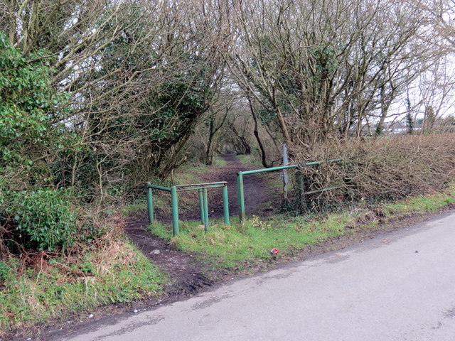
Image: © Alan Richards Taken: 30 Jan 2018
Llwybr cyhoeddus yn mynd i gyfeiriad pentre'r Bryn. Dilyna'r llwybr hen ddramfordd a gludai lo o bwll bach. A public footpath heading in the direction of Bryn village (trans. hill). The route follows a former tram-road that carried coal from a small mine.
Images are licensed for reuse under creativecommons.org/licenses/by-sa/2.0
Image Location
Latitude
51.689584
Longitude
-4.1104