Orchard View, Sweechgate
Introduction
The photograph on this page of Orchard View, Sweechgate by John Baker as part of the Geograph project.
The Geograph project started in 2005 with the aim of publishing, organising and preserving representative images for every square kilometre of Great Britain, Ireland and the Isle of Man.

There are currently over 7.5m images from over 14,400 individuals and you can help contribute to the project by visiting https://www.geograph.org.uk
Orchard View, Sweechgate
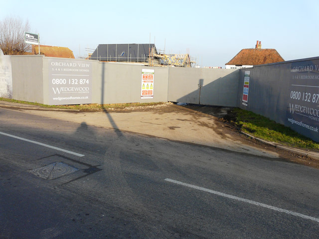
Image: © John Baker Taken: 14 Jan 2018
Planning permission was granted by Canterbury City Council under application numbers CA//16/00554 & CA//16/00555 for the “erection of 13 residential dwellings, change of use of listed public house to a single residential dwelling and associated landscaping works”. The location was named as the Royal Oak Caravan Park. Bill Boaden’s image of Image shows it when it was a thriving concern.
Images are licensed for reuse under creativecommons.org/licenses/by-sa/2.0
Image Location
Latitude
51.311475
Longitude
1.109386