Information board on the west side of the village church, Llanmartin
Introduction
The photograph on this page of Information board on the west side of the village church, Llanmartin by Jaggery as part of the Geograph project.
The Geograph project started in 2005 with the aim of publishing, organising and preserving representative images for every square kilometre of Great Britain, Ireland and the Isle of Man.

There are currently over 7.5m images from over 14,400 individuals and you can help contribute to the project by visiting https://www.geograph.org.uk
Information board on the west side of the village church, Llanmartin
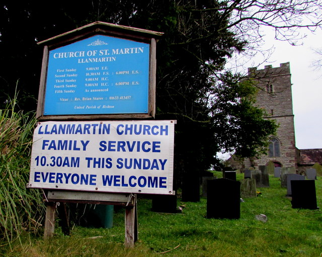
Image: © Jaggery Taken: 14 Jan 2018
Near the Waltwood Road entrance to the Church of St Martin. https://www.geograph.org.uk/photo/5655392
Images are licensed for reuse under creativecommons.org/licenses/by-sa/2.0
Image Location
Latitude
51.600257
Longitude
-2.876193