Trafford Wharf Road
Introduction
The photograph on this page of Trafford Wharf Road by Gerald England as part of the Geograph project.
The Geograph project started in 2005 with the aim of publishing, organising and preserving representative images for every square kilometre of Great Britain, Ireland and the Isle of Man.

There are currently over 7.5m images from over 14,400 individuals and you can help contribute to the project by visiting https://www.geograph.org.uk
Trafford Wharf Road
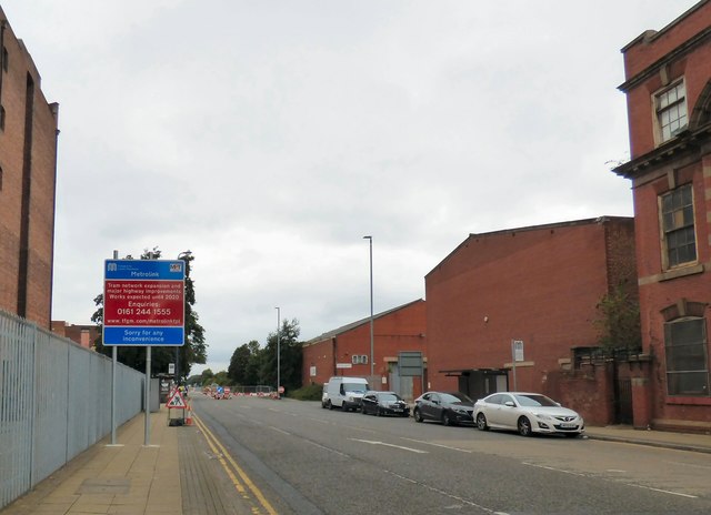
Image: © Gerald England Taken: 21 Aug 2017
The road sign warns: "Tram network expansion and major highway improvements Works expected until 2020" So that is three years of disruption whilst the Metrolink extension to the Trafford Centre is built.
Images are licensed for reuse under creativecommons.org/licenses/by-sa/2.0
Image Location
Latitude
53.464631
Longitude
-2.285548