Caverton Mill Farm House
Introduction
The photograph on this page of Caverton Mill Farm House by Anne Burgess as part of the Geograph project.
The Geograph project started in 2005 with the aim of publishing, organising and preserving representative images for every square kilometre of Great Britain, Ireland and the Isle of Man.

There are currently over 7.5m images from over 14,400 individuals and you can help contribute to the project by visiting https://www.geograph.org.uk
Caverton Mill Farm House
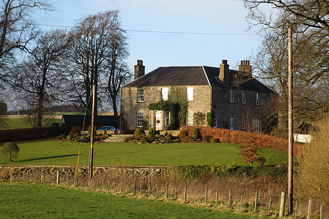
Image: © Anne Burgess Taken: 1 Jan 2018
An elegantly symmetrical house close to the Kale Water. It looks Georgian but could be later; there are some similar houses built in the mid-19th century.
Images are licensed for reuse under creativecommons.org/licenses/by-sa/2.0
Image Location
Latitude
55.524836
Longitude
-2.4004