Stable yard, Trelowarren
Introduction
The photograph on this page of Stable yard, Trelowarren by Ian Capper as part of the Geograph project.
The Geograph project started in 2005 with the aim of publishing, organising and preserving representative images for every square kilometre of Great Britain, Ireland and the Isle of Man.

There are currently over 7.5m images from over 14,400 individuals and you can help contribute to the project by visiting https://www.geograph.org.uk
Stable yard, Trelowarren
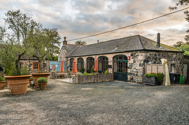
Image: © Ian Capper Taken: 19 Sep 2017
One of three blocks forming the stable yard at Trelowarren. This one, the former carriage house, dates mainly from the early 19th Century although incorporates an earlier wall. It now houses the New Yard Restaurant. Grade II listed - see www.historicengland.org.uk/listing/the-list/list-entry/1328602.
Images are licensed for reuse under creativecommons.org/licenses/by-sa/2.0
Image Location
Latitude
50.071453
Longitude
-5.187025