Eastern end of Owslebury Main Road
Introduction
The photograph on this page of Eastern end of Owslebury Main Road by Peter Facey as part of the Geograph project.
The Geograph project started in 2005 with the aim of publishing, organising and preserving representative images for every square kilometre of Great Britain, Ireland and the Isle of Man.

There are currently over 7.5m images from over 14,400 individuals and you can help contribute to the project by visiting https://www.geograph.org.uk
Eastern end of Owslebury Main Road
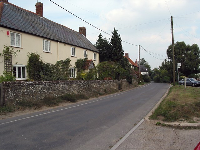
Image: © Peter Facey Taken: 22 Sep 2005
Looking E. Properties off picture to right are Gorse Down. The village of Owslebury is clustered around a single long street.
Images are licensed for reuse under creativecommons.org/licenses/by-sa/2.0
Image Location
Latitude
51.009467
Longitude
-1.264456